The elevation of Makran coast range is upto about 1000 meters above the sea level.In Gwadar District, soil is of two kinds: alluvial soil and lithosols and rigosols. The valley of Dasht river in the western part of the district and the Kulanch valley in the north comprise of alluvial soil. The hilly zone of the area is secured with lithosols and rigosols. Limestone, shale and sandstone are the fundamental rocks associated with the arrangement of this region.
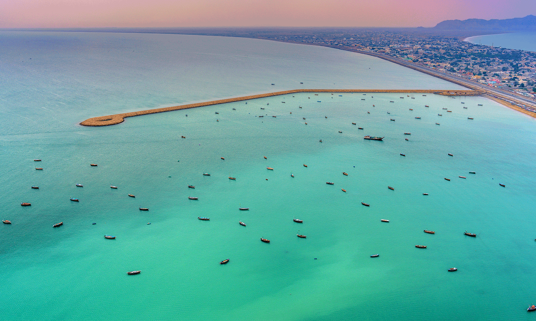
Gwadar is an area along the ocean in south of the Makran. The coastline of Gwadar District is around 600 Kilometers in length. Gwadar was notified as a District in July, 1977 with its headquarter at Gwadar Town. Beforehand it used to be a piece of Makran District.
Gwadar district is located from 25`-01` to 25`-45` North latitudes and from 61`-37` to 65`-15` east longitudes. It is bounded on the North by Kech and Awaran District, on the East by Lasbela District, on the south by the Arabia Sea and on the West by Iran. Total area of the district is 12,637 square kilometers. The district comprises of Gwadar and Pasni Sub-divisions:
Physical Features / Topography
Rivers and Streams
The important rivers and streams in the district include Shadi Kaur, Swar and Dasth river with its tributaries Nilag and Daddeh.
Climate
The climate of Gwadar, elevated at 0-300 meters above sea level, is drying arid hot. It is placed in “warm summer and mild winter” temperature region. The oceanic influence keeps the temperature lower than that in the interior in summer and higher in winter. The uniformity of temperature is a unique characteristic of the coastal region in Balochistan.
SOCIETY AND CULTURE
ETHNICITY AND TRIBES
The majority of population consists of Balochs. Balochi is spoken with a different dialect from that spoken in Dera Bugti and Kohlu. Historically, the society in Gwadar was divided in three social strata Hakims, Balochs and Hizmatgars locally known as Darzadas or Gholams. Hakims constituted privileged class of the society, Baloch being intermediary calss and Hizmatgars who were the lowest socio-economic stratum of the society. But those social class boundaries lost their existence between once Baloch Nationalism took routes in Makran.
Kalmatis, Mehdizais, Kaundais, Rais, Sangurs, Shehzadas, etc. represent the important groups among the Baloch.
FOOD
Fish is commonly used as a major food in the coastal area of Balochistan. People prefer dried or boiled fish. Rich men slaughter goat and sheep occasionally for the entertainment of their guests. The coastal area has a variety of fish and seafood from tunas, shrimps and lobsters to snappers-groakers, grunters, sardines, sharps and skates.
INDUSTRY & TRADE
Industry
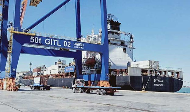
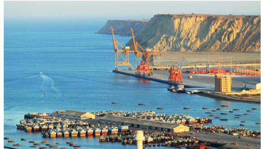
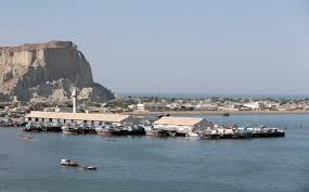
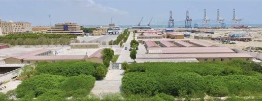
Industry in Gwadar district consists of fisheries, power generation plants, few manufacturing units and ice plants. Fish is the major export of the district.
Tourism can also be developed as an industry with little effort.
Manufacturing units in the district include ice factories, boat making sheds and few furniture making workshops.
Trade and Trade Centers
Fish export is the major trade activity in the district. About 40% of the total fish catch is exported to Karachi. The fish is also exported to Sri Lanka, Korea, China and Hong Kong. So, Gwadar is a well-known trading center for fishing. In Gwadar district till today fishing is a family skill.
COMMUNICATIONS
Gwadar district is connected with other parts of the country by air and road. The total length of roads within the district is 983 kilometers.
The most attractive Coastal highway along the coast with the total length of 650 kilometers approximately, connects Gwadar with Pasni, Ormara, District Lasbela and Karachi is almost complete.
The project of 515 Kilometers long railway track has been approved by the Ministry of Railway Government of Pakistan to connect Gwadar with already existing rail network.
Pakistan International Airlines is playing an important role as a means of communication through air. There are Daily ATR flights flying from Karachi to Gwadar and Gwadar to Karachi.
It is also proposed to extend the size of runway so that the bigger planes can land Gwadar till the new International Airport as provided in the Gwadar Master Plan is constructed.
Gwadar district does not have access to gas pipeline supply, however, liquefied petroleum gas (LPG) is available in cylinders.